Interstate 66
Started in 1961, the 76-mile-long Interstate 66 is one of the busiest highways running through Arlington.
I-66 was proposed in 1956 to connect Strasburg, Virginia, in the Shenandoah Valley with Washington.
During the planning stages, the Virginia Highway Department evaluated several possible locations for the highway inside the Beltway. After considering four options, they finally chose the Fairfax Drive–Bluemont Drive corridor between the Beltway and Route 120 (Glebe Road) and the Washington and Old Dominion (W&OD) corridor between Glebe Road and Rosslyn in Arlington. The route west of 123 was determined earlier. The Department rejected two other routes through Arlington neighborhoods and one along Arlington Boulevard due to cost or opposition.
Originally, I-66 was supposed to connect to the Three Sisters Bridge. However, as that bridge was canceled, it was later redesigned to connect to the Potomac River Freeway via the Theodore Roosevelt Bridge.
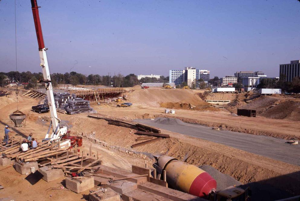
Among the more vivid shared experiences of Arlingtonians in the 1950s through the 1980s was the disruptive and drawn-out arrival of Interstate 66. That divisive federal-state construction project required confiscation, under eminent domain, of 1,054 land parcels of homes, parks, gardens, and dozens of businesses. Moreover, it was spread over four decades. Conflict over the eventual $275 million road lasted from visioning in 1958 to the right-of-way finalized in 1966, to lawsuits and protests by environmentalists, the down-scaled compromise design in the 1977 Coleman report, and the paving that allowed its opening in 1982.
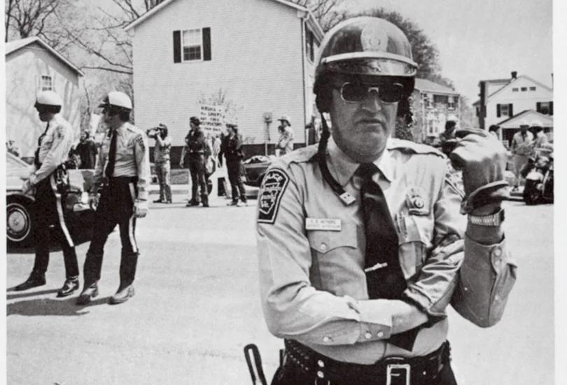
Opponents-among the first to take advantage of the required Environmental Impact Statement under the 1970 National Environmental Policy Act-feared noise, pollution, the dividing of neighborhoods, and the unsightly 12-lane concept behind the original design. Among the ringleaders of the resistance were Jim and Emelia Govan, who rallied grassroots support for the Arlington Coalition on Transportation.
There was a (largely) tongue-in-cheek contest to name the new highway, the Journal newspapers noted. The Arlington Historical Society proposed naming it for African-American medical pioneer and one-time Arlingtonian Charles Drew. Many entries were cynical parodies from opponents of the highway proposing to name it after King George, Virginia Governor Mills Godwin, or Carter Administration Transportation Secretary Brock Adams.
No one could argue that the advent of the much-debated I-66 didn't alter Arlington profoundly. Former Maywood resident Sam Day recalled an array of stores around Kirkwood Road at Lee Highway (Langston Blvd.) disappeared. Those who lost their homes suffered the most anguish. Bill Whikehart recalled that his parents learned that their home at 1002 North Patrick Henry Drive was being condemned the same day they learned their son Mark had been killed in Vietnam.
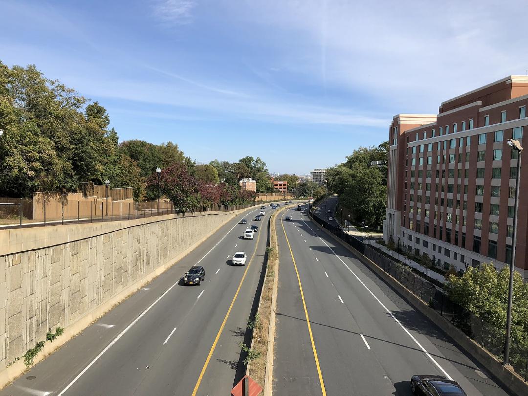
On December 22, 1982, the final section of I-66 opened between the Capital Beltway and US 29 (Lee Highway) in Rosslyn, near the Virginia end of the Theodore Roosevelt Bridge.
Today, I-66 is a 76.32-mile east–west highway that runs from an interchange with I-81 near Middletown, Virginia, to an interchange with U.S. Route 29 (US 29) in Washington, D.C., in Virginia. I-66 has no physical or historical connection to the famous Route 66, located in a different region of the United States.
Images