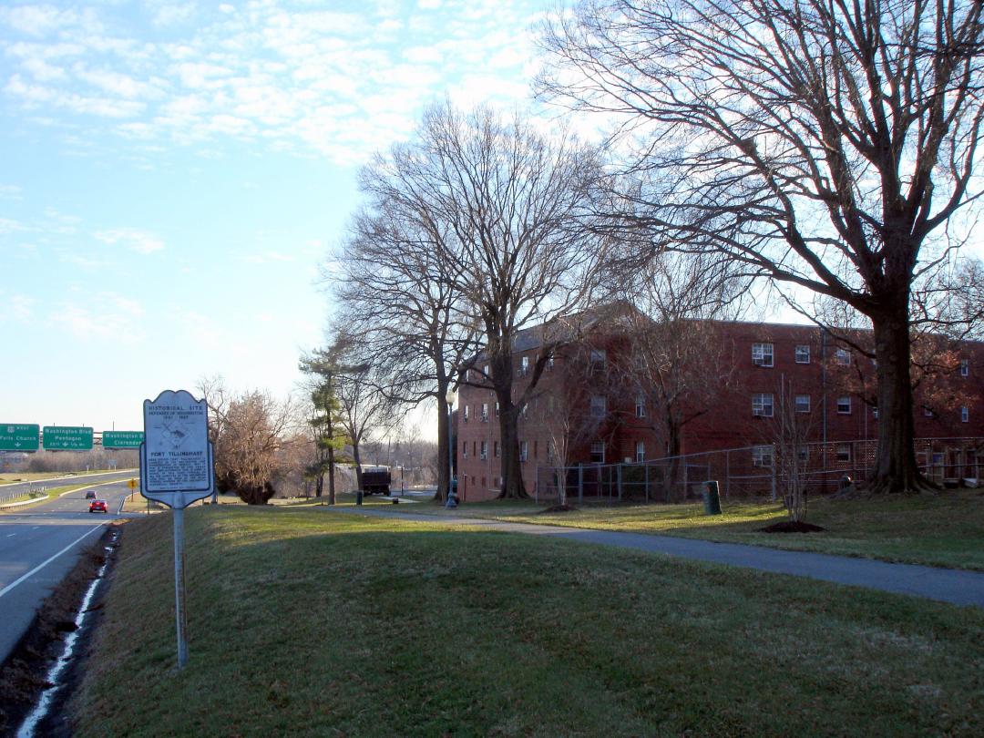
Fort Tillinghast
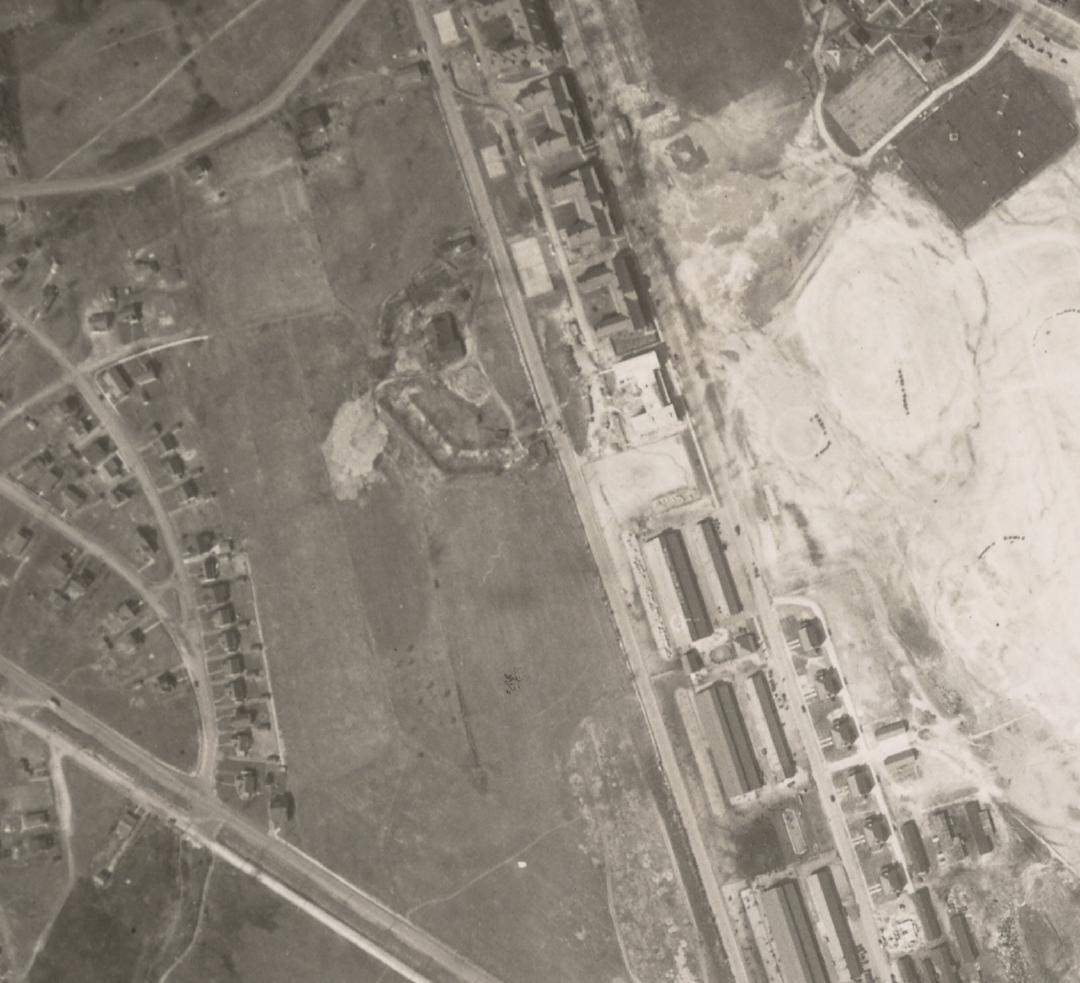
Fort Tillinghast was a small lunette about a 1/2 mile from Arlington House, along what is Rt. 50 today.
The Confederate victory at Bull Run on July 21, 1861, reinforced the urgency to strengthen Washington's defenses. The critical need was fortifying Arlington Heights by connecting Forts Corcoran (in Rosslyn) and Albany (on Arlington Ridge) with intermediate earthworks. These smaller fortifications would be able to support the larger forts within musketry or canister range of one another. This new line of defenses would cover the bridges and protect the all-important commanding heights.
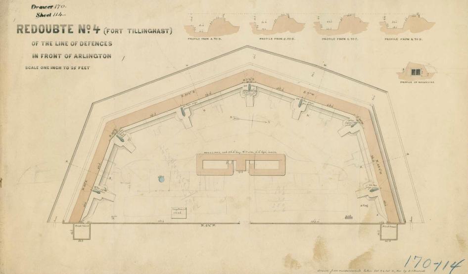
Accordingly, several "lunettes" were constructed by Union forces during August of 1861. Lunettes are field works with two faces forming a salient angle with two parallel flanks. The rear entrance into the fortification was called a "gorge," or throat, and was protected by stockades. These works became Forts Craig, Tillinghast, Cass, and Woodbury.
Fort Tillinghast was a small lunette about a 1/2 mile from Arlington House, along what is Rt. 50 today. The lunette was named in honor of Captain Otis H. Tillinghast, Quartermaster, who was killed at the First Battle of Bull Run on July 21, 1861. Oriented to the west, it had a perimeter of 298 yards (272 m), emplacements for 12 guns, two magazines, and a bomb-proof.
The fortification's armaments included four 24-pound guns, one 24-pound field howitzer, four 30-pound Parrott rifles, two 20-pound Parrott rifles, and two 24-pound Coehorn mortars. Units garrisoned at the lunette included the 16th Maine Infantry, 1st Massachusetts Heavy Artillery, 4th New York Heavy Artillery, and the 145th and 138th Ohio Infantry.
In June 1865, Fort Tillinghast was ordered dismantled, and the site returned to its previous owners.
Images